Using Latitude and Longitude Coordinates
The geographic location of any item in ClearSCADA is primarily defined by it's Latitude and Longitude.
Traditionally longitude and latitude are written in degrees minutes and seconds (DMS).
For example: 40° 26' 46" N 79° 58' 56" W
There are other formats, however in ClearSCADA latitude and longitude coordinates are entered and displayed in signed degrees format.
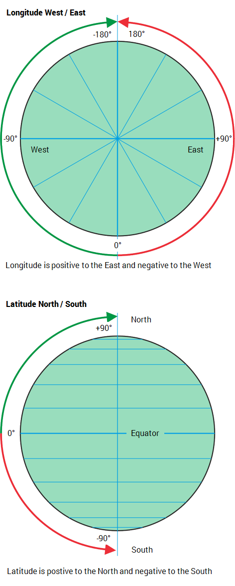
Decimal coordinates are signed to indicate the direction they are measured.
- Longitudes range from -180.0 to 180.0. Positive = East, negative = West.
- Latitudes range from -90.0 to 90.0. Positive = North, negative = South.
Example:
You would enter the DMS geographic position of 40° 26' 46" N 79° 58' 56" W
as
40.44611111111111, --79.98222222222222
All numeric location / region coordinates in location strings use the English decimal point (a dot).
To convert the DMS to decimal you can use the following equation:
Decimal degrees = Degrees + minutes / 60 + seconds / 3600

