Use the Default Map Source field on the Geographic Information tab of the System or Root Group to specify the default map that Geo SCADA Expert should use for ad-hoc mapping. For example, to display the location of a database item (see Display On Map in the Geo SCADA Expert Guide to ViewX and Virtual ViewX Clients). The default map could be a single-layer base map, such as the OpenStreetMap® world map, or a multi-layer composite map. For more about Geo SCADA Expert maps, see About Geo SCADA Expert Maps.
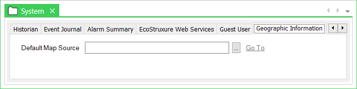
To specify the default map, select the field’s browse button to display a Reference browse window. Select a Map Source or a Map Set from the window. For more about Map Sources and Map Sets, see Creating a Map Source and see Creating a Map Set.