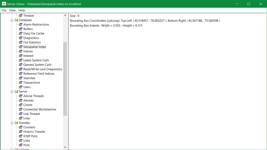
Geospatial Index
The Geospatial Index category provides diagnostic information about the contents of the index. The Geospatial index allows ClearSCADA to process queries using location data more efficiently.

There are three key items of information provided by this category:
This item indicates the number of items in the database that have static or dynamic location data configured. Items that are set to inherit location data are not included in the count, only the parent item from which the location data is inherited is included, see Use the Location Tab to Specify an Items Geographical Coordinates.
This item defines the coordinates of the rectangular area, in degrees, that encloses all the items that have location data configured.
This item defines the size of the rectangular area, in degrees, that encloses all the items that have location data configured.
The Bounding Box includes Static, Dynamic and Inherited items.