A Map Set is a list of the Map Sources (layers) in a ClearSCADA map. To create a map you combine one or more Map Sources to create a Map Set, which you can then display as a multi-layered composite map. For example, a Map Set could comprise a base layer (such as the OpenStreetMap world map) and a graphic overlay, showing wind speed and direction data. For more information, see Creating a ClearSCADA Map and see Creating a Map Source.
Each Map Set is represented in the ClearSCADA database by a Map Set database item.
To create a Map Set database item, see Creating a Map Set.
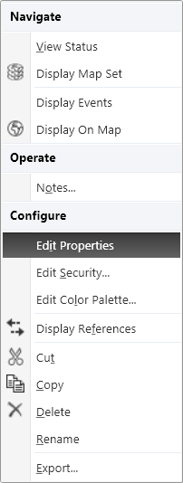
Once you have created a new Map Set item, you need to specify which Map Sources you want in the new Map Set. To do this, right-click on the item to display its Object Menu, then select the Edit Properties option:

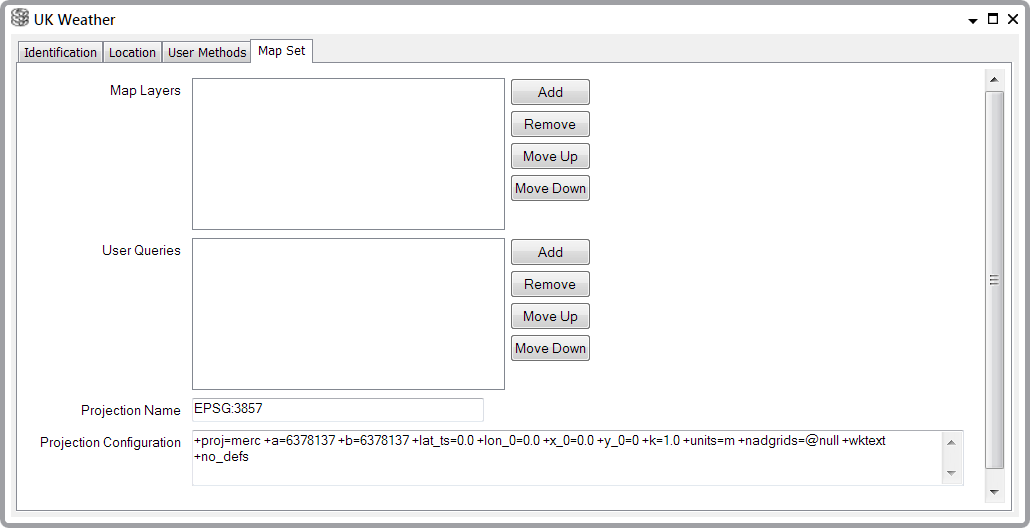
ClearSCADA will then display the Map Set form:

This section describes the settings on the Map Set tab of the Map Set form. You can find details of the settings on the other tabs as follows:
- Identification—Use to optionally define a Help View and to indicate whether the item is to be excluded from any Exclusive Control activity (see Defining Identification Details).
- Location—Use to define the default Location on which the Map Set will be centered when it is displayed. For example, if you enter the coordinates of the Greenwich Observatory in London then the map source will be centered on Greenwich. For more information, see Use the Location Tab to Specify an Item's Geographic Coordinates.
- User Methods—Use to define any custom pick actions (‘methods’) for the item (see Using the User Methods Tab to Define Custom Actions).
Use the Map Set tab to:
- Add a Map Source (layer) to a Map Set, delete a Map Source from a Map Set and move the position of a Map Source within a Map Set (see Defining Which Map Sources are in a Map Set)
- Add a User Query to a Map Set, delete a User Query from a Map Set and move the position of a User Query within a Map Set (see Associating User Queries with a Map Set)
- Define and configure the projected coordinate system for the Map Set (see Specify the Projected Coordinate System for a Map Set).